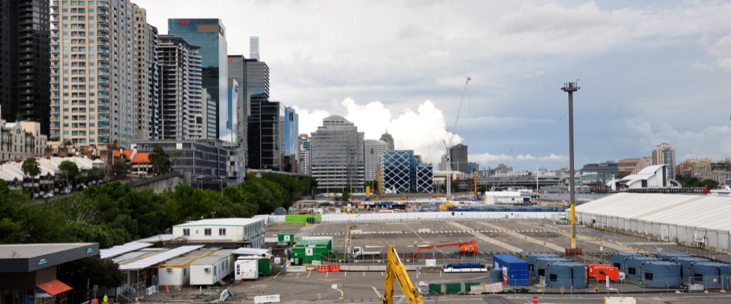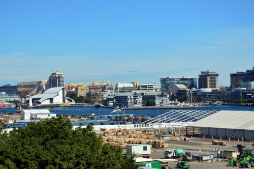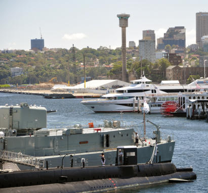

Barangaroo


Barangaroo is of great importance to the traditional owners of the Sydney City
region, the Aboriginal Cadigal people. The area was a major hunting and fishing
region prior to colonial settlement. There are a number of rock carvings and
shell middens close to this site that date back to 6000 years. The name for the
suburb was chosen in honour of Barangaroo a powerful Kamaraygal woman during
the early years of British colonisation. She was the second wife of Bennelong
(after whom Bennelong point was named - the site of the Sydney Opera House)
and a strong opponent to her husband’s cooperation with the colonial government.
To the early European settlers this area was known as Cockle Bay Point.
In the 1820s, windmills were built in the area giving rise to the name Millers Point.
In the 1830s, the first wharf was built.
In 1859, The Argyle Cut was constructed providing a direct route from The Rocks
to Millers Point.
The Hungry Mile
The Great Depression 1929 to 1939 gave rise to a system of day labour in many
port areas. Workers would walk from wharf to wharf in search of a job, often
failing to find one. The Hungry Mile is the colloquial name the Harbourside
workers gave the dockland area of Darling Harbour East and is now the officially
designated name of the section of Barangaroo, Hickson Road between the
Munn Street Overbridge and the Napoleon Street intersection.


